|
|
presentsCORIOLIS |
 ...
...
Left. Ridge Section 119; Right: Cropped 1200 dpi USGS
color chart of Section 119
USGS Charts 0010SN-16018
Lunascan Composite of Sections 108, 109, and 119 & 1200
LRO WAC 68 in pdf
WAC 86 in pdf
USGS Charts 0010SN-16018
Lunascan Composite of Sections 108, 109, and 119 & 1200
LRO WAC 68 in pdf
WAC 86 in pdf
BRIEF DESCRIPTION
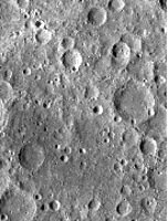
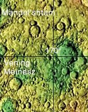
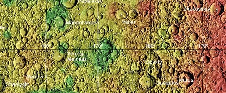
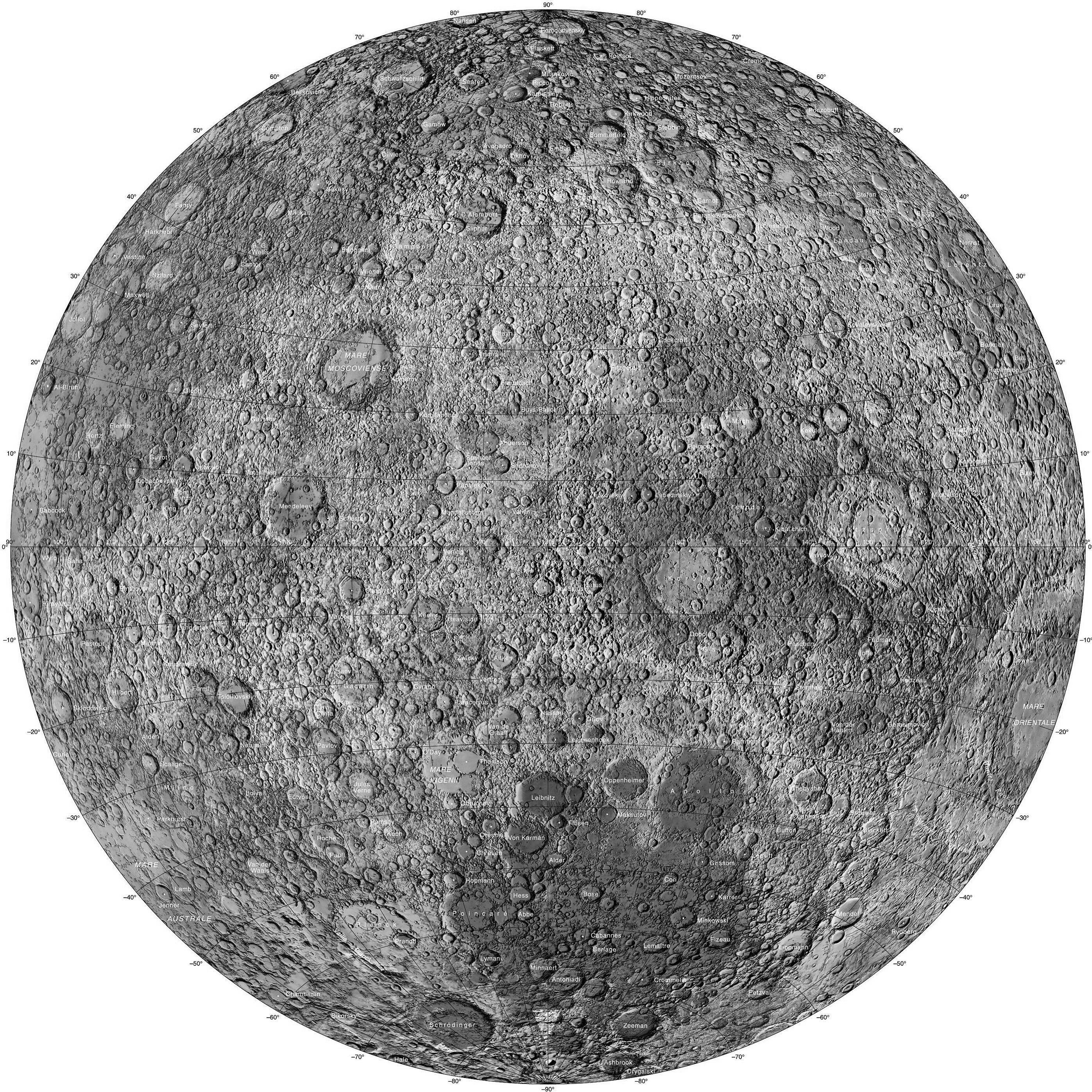
Ridge Section 119 is Coriolis, named after a 78 km lunar
impact crater that is located on the lunar Far Side.
It is the largest crater in the section image above and lies
close to the 170-degree longitude line. In the region chart
it is located dead center and not labelled. In the
USGS cropped color image at the upper right the crater
Vening Meinesz is out of frame and in Ridge Section 118 but
the label spills over into our subject section. The Coriolis
crater floor is bisected by the lunar equater, and it lies
about three crater diameters northwest of the crater
Daedalus (Ridge Section 120). The rim of this formation is
somewhat eroded, and several small craters lie along the
edge. The northern rim is somewhat damaged, and has a slight
outward bulge and depression in the side. The interior floor
has small craters along the eastern and southern inner
walls. There are also some low hills near the mid-part of
the floor. In the SW corner of the section are two craters,
the largest there which is Stratton and the the one above it
which is Dewar. To see the region even better, refer to the
stacked USGS charts 0010s&N-160180 above. Even more
detail can be seen in the Lunar Reconnaisance Orbiter Wide
Angle Camera (WAC) shots linked above. Coriolis is at the
bottom right of WAC 68. (Credit: Some of the information
used in the section feature descriptions was obtained from
wikipedia.com. Section 119 and this directory was created by
Fran Ridge and Ned Haskin of The Lunascan Project)
![Lunar Farside Chart [300 dpi] (NASA/LPI)](http://www.lpi.usra.edu/resources/mapcatalog/LMP/lmp2/300dpi.jpg)
![Farside Image Composite [1600 dpi] (NASA/LRO)](http://www.nasa.gov/images/content/527006main_farside.1600.jpg)