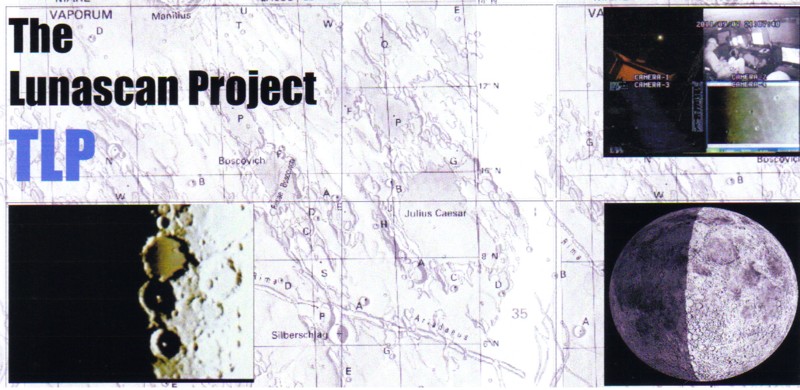
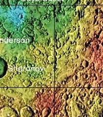
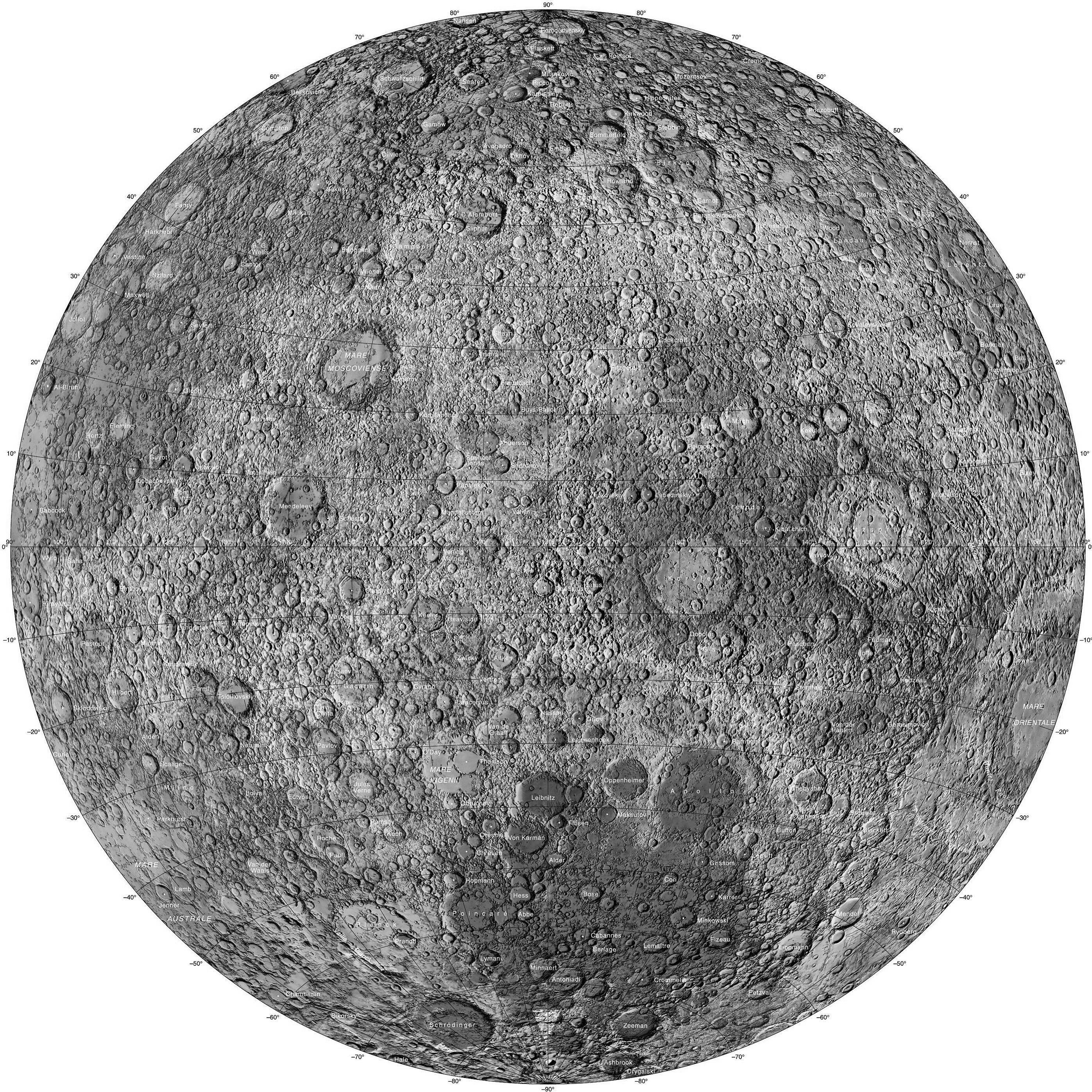
Virtanen is a lunar impact crater located to the northeast of
the larger crater Sharonov and to the east of Anderson. The color
USGS cropped-to-fit Section has remnants of the crater names but
our b&w Section 109 shows Virtanen's location. Virtanen lies
on the lunar Far Side and it has a nearly circular rim, with a
relatively narrow inner wall and a small rise near the interior
midpoint. A small crater impact near the eastern rim lies at the
focus of a small ray system that covers much of Virtanen and its
surroundings. The rays are wispy in nature and somewhat
asymmetrical, with the distribution being much more expansive to
the west. At the origin of the rays is a bright patch of
higher-albedo surface. On the otherhand, the wispy blue haze at
the top right image is more to do with USGS surface coding and
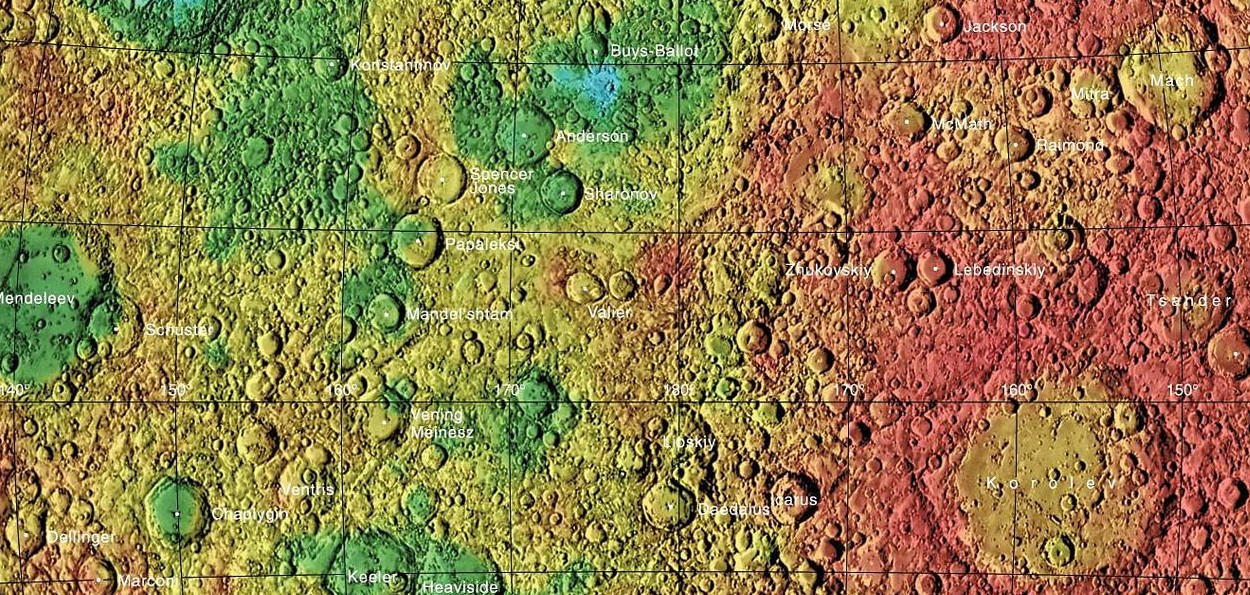
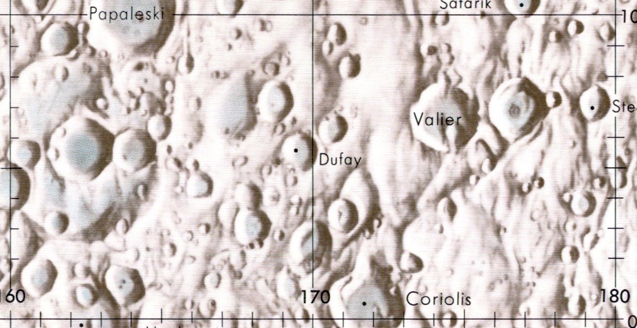
isn't the area we're discussing. Valier, a 67 km partial lunar
impact crater that is located in the extreme SW corner of Ridge
Section 109, is in the center of the region map linked above. It
is nearly attached to the western rim of the crater Tiselius. To
the north-northwest lies the larger Sharonov (about a third of
which lies on the western side of the section). To the
south-southwest is Coriolis, and west of Valier is Dufray, both
out of frame.The most notable feature of this crater is the
satellite crater Valier J that occupies the southeastern part
of the interior floor and shares part of the outer rim. The
remainder of the rim is somewhat worn, with small craterlets along
the eastern side. The inner walls of Valier are uneven slopes that
are marked by several tiny craterlets. The surviving interior
floor is a relatively level surface with some tiny craterlets
scattered about. (Credit: Most of the information used in the
section feature descriptions was obtained from
wikipedia.org/wiki/Mach_(crater).
Section 109 and this directory was created by Fran Ridge and Ned
Haskin of The Lunascan Project).
 ...
...
![Lunar Farside Chart [300 dpi] (NASA/LPI)](http://www.lpi.usra.edu/resources/mapcatalog/LMP/lmp2/300dpi.jpg)
![Farside Image Composite [1600 dpi] (NASA/LRO)](http://www.nasa.gov/images/content/527006main_farside.1600.jpg)