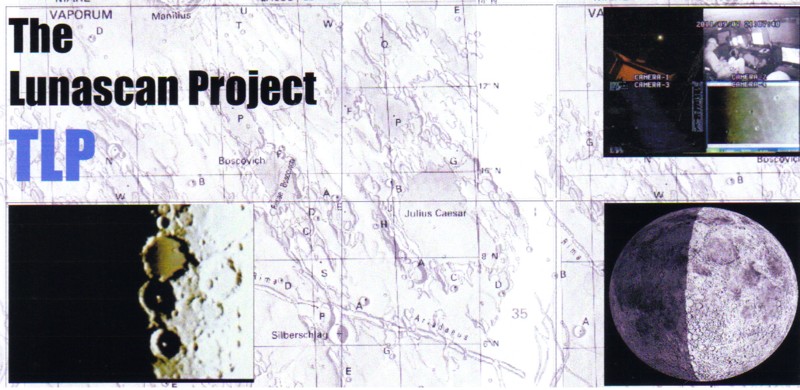
Ridge Section 147 wasn't easy to produce due to lack of
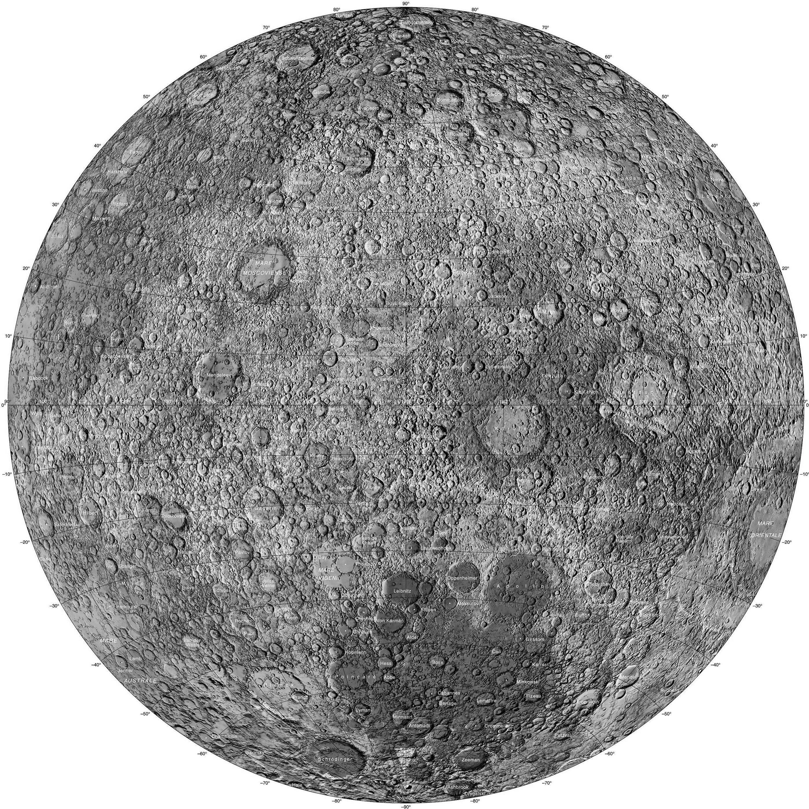
specific large craters. But the west section of Montes
Cordillera made up for this. This feature is a mountain range
on the Moon that extends from the Near Side to the Far Side
and forms the outer wall of peaks that surround the Mare
Orientale impact basin, the inner ring being formed by the
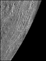
Montes Rook. (Our image at upper left doesn't highlight the
mountain range very well, and the "pointer" rests on the
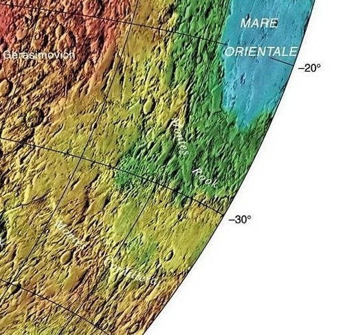
western edge only). To appreciate the immensity and importance
of this area one must look at the video flyovers linked below
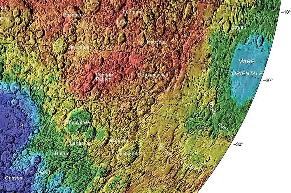
or this LRO color
graphic. The center of the range is
located at selenographic 17.5° S, 81.6° W, and the diameter is
574 km (357 mi). This range of peaks lies across the
southwestern limb of the Moon, so that they are observed from
the side from Earth. The western extreme is approximately 116°
W, on the Far Side of the Moon. The northern part of the range
lies just to the south of the lunar equate, while the southern
extent reaches about 38° S. The inner face of the range is
distinguished by an uneven, ring-shaped plain surrounding the
Montes Rook, while the outer extent apparently consists of a
wide blanket of ejecta features deposited during the formation
of the Mare Orientale. These have formed various ridges and
valleys radial to the mare, and have heavily modified nearby
pre-existing crater formations. (Credit: Most of the
information used in this section feature descriptions was
obtained from wikipedia.org. Section 147 and this directory
was created by Fran Ridge and Ned Haskin of The Lunascan
Project).
 ...
...
![Lunar Farside Chart [300 dpi] (NASA/LPI)](http://www.lpi.usra.edu/resources/mapcatalog/LMP/lmp2/300dpi.jpg)
![Farside Image Composite [1600 dpi] (NASA/LRO)](http://www.nasa.gov/images/content/527006main_farside.1600.jpg)